This course will deal with the data dissemination system called EUMETCast, or globally referred to as GEONETCast. This low cost data dissemination system allows free near real time satellite data reception from a range of satellites and associated products from various data providers. The focus of this course will be on system setup for African users. The course will elaborate on the system requirements like parabolic antenna, LNB and DVB-S2 configuration / antenna pointing, service registration, different types of data received and the necessary data management. An introduction will be provided on the visualization of a number of satellite images from geostationary satellites (like MSG) and polar orbiting satellites (like METOP) as well as a range of land and atmosphere products. Use is made of free and open tools for image import and processing.
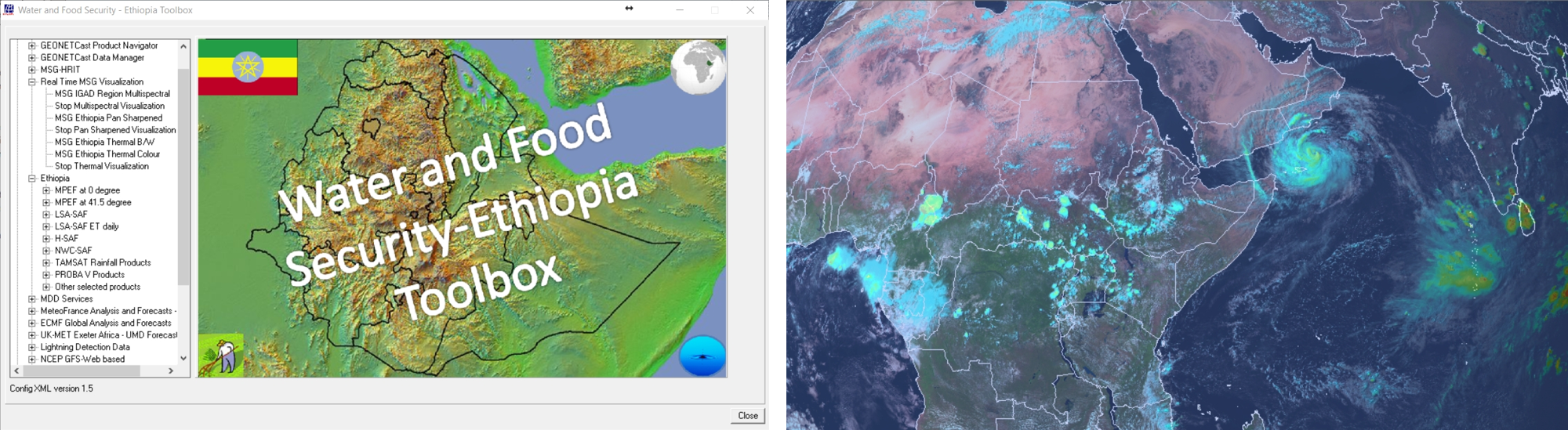
The figure below shows the Water and Food Security Ethiopia toolbox and an MSG visualization of METEOSAT-8, positioned at 41.5 degree East, together with the multi sensor precipitation estimate product (MPEG).